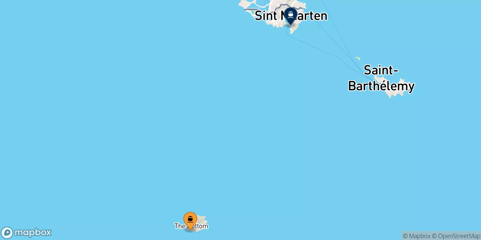
Ferries from Saba to the Dutch Caribbean
Offers, Timetables and Prices


The route connecting Saba and Dutch Caribbean isn't operating at the moment by ferry operators in partnership with NetFerry online booking platform.

The island of Saba has one port, located on the south-west coast, it is called Fort Bay Harbor. The port has recently been expanded and is the busiest the island. It is used by fishermen and divers, as well as shipping companies that connect the island with other destinations. The port is well equipped and has customs and immigration offices, as well as a service area with showers, bathrooms, restaurants and bars. The port of Saba is about 1.6km from The Bottom, 5km from Windward Side and 7.6km from Hell's Gate. There is also a small airport on the island called The Saba Flight Deck.... [More information]
Address: Fort Bay Ferry Terminal, The Bottom, BES Islands
Directions: Google Map @ Saba, port
The Dutch Caribbean is a former colony of the Netherlands and is located in the Caribbean. The area includes the islands of Aruba, Curaçao, Sint Maarten, Bonaire, Sint Eustatius and Saba. These exotic islands attract tourists from all over the world. A brief history of the Dutch Carribean Until 2010, these islands were part of the Netherlands, known as the Netherlands Antilles, established in the 1950s. each island has its own well-defined history, but the first human settlements were created by indigenous tribes from Venezuela. During the mid and late 1400s, the islands were disc... [More information]