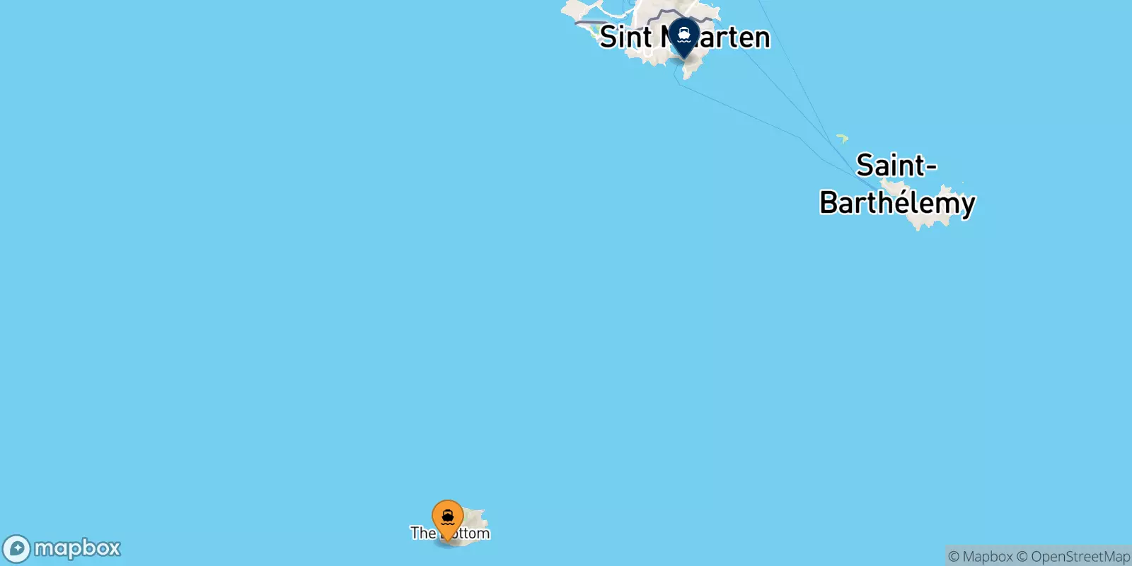
Ferries from Saba to Philipsburg (St Maarten)
Offers, Timetables and Prices


The ferry route between Saba and St Maarten is temporarily not covered by any ship operator managed through NetFerry online booking service.

The island of Saba has one port, located on the south-west coast, it is called Fort Bay Harbor. The port has recently been expanded and is the busiest the island. It is used by fishermen and divers, as well as shipping companies that connect the island with other destinations. The port is well equipped and has customs and immigration offices, as well as a service area with showers, bathrooms, restaurants and bars. The port of Saba is about 1.6km from The Bottom, 5km from Windward Side and 7.6km from Hell's Gate. There is also a small airport on the island called The Saba Flight Deck.... [More information]
Address: Fort Bay Ferry Terminal, The Bottom, BES Islands
Directions: Google Map @ Saba, port
Philipsburg is the main town and capital of Sint Maarten, a small island in the Caribbean. Split into two halves, the northern portion of the island is called Saint Martin and is a French colony, and the southern part is called Sint Maarten and is a Dutch colony. Even though it has a population of just 1,327 Philipsburg acts as the central commercial hub for both parts of the island and is located on a narrow stretch of land between Great Bay and the Great Salt Pond. A brief history of Philipsburg In 1493, Christopher Columbus spotted the island and named it San Martín, however, the Spa... [More information]